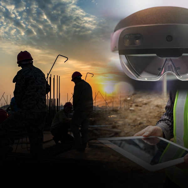
Construction-Grade Augmented Reality
Cm-accurate augmented reality purpose-built for your job site.
Cm-accurate augmented reality purpose-built for your job site.

vGIS is a leading high-accuracy augmented reality (AR, MR - mixed reality or XR - extended reality) visualization platform. vGIS transforms spatial data — BIM, GIS and 3D scans — into construction-grade Digital Twin and AR.

vGIS offers unparalleled AR accuracy of up to 1cm without the AR drift (visuals "drifting away" from their intended location) typical to AR tools.

vGIS comes with free plugins for Civil 3D®, Revit® and Navisworks® and direct integrations with Autodesk Construction Cloud, Bentley ProjectWise, Esri ArcGIS, and more to reduce or eliminate manual data preparation for AR.
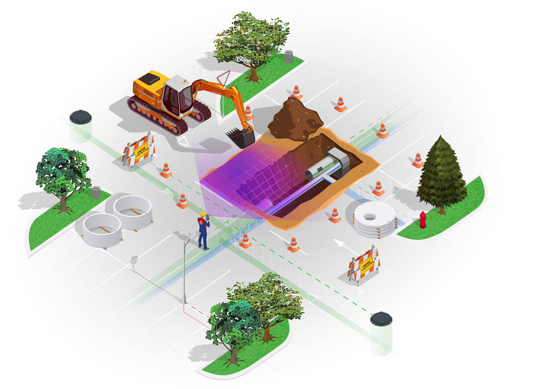
Perform QC checks with cm-level accuracy, streamline utility locates, validate designs and improve understanding of your job site with engineering-grade augmented reality.
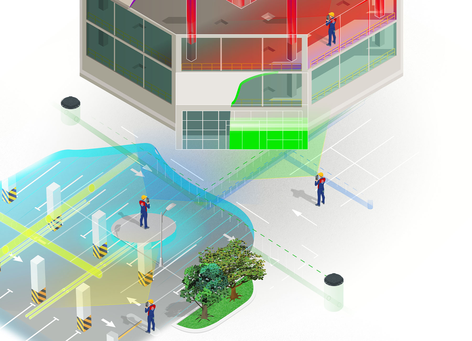
read moreProvide easy access to BIM information for everyone at the construction site. Reference HVAC, MEP, structural, and other models on a one-to-one scale and in the most intuitive way possible.
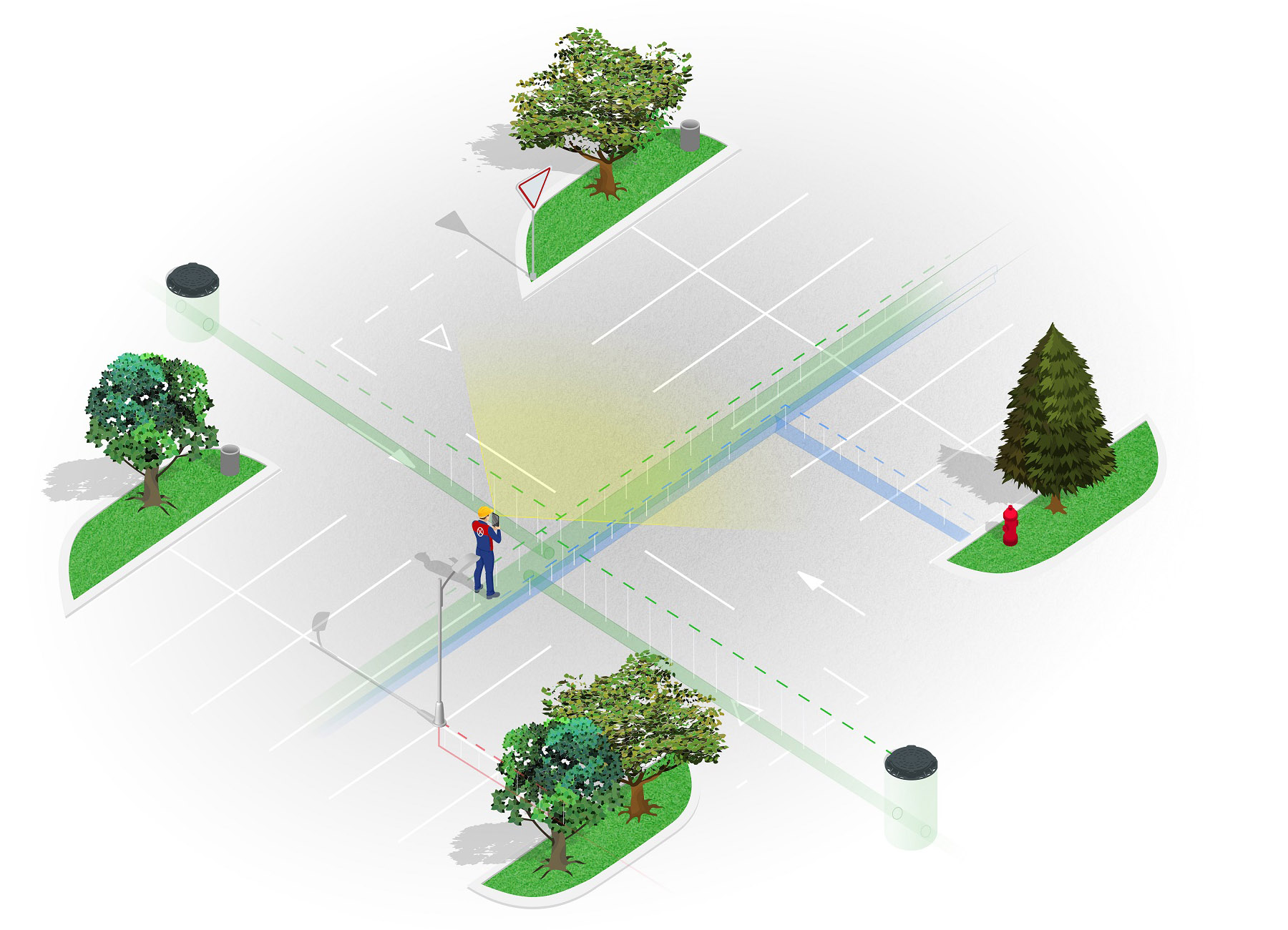
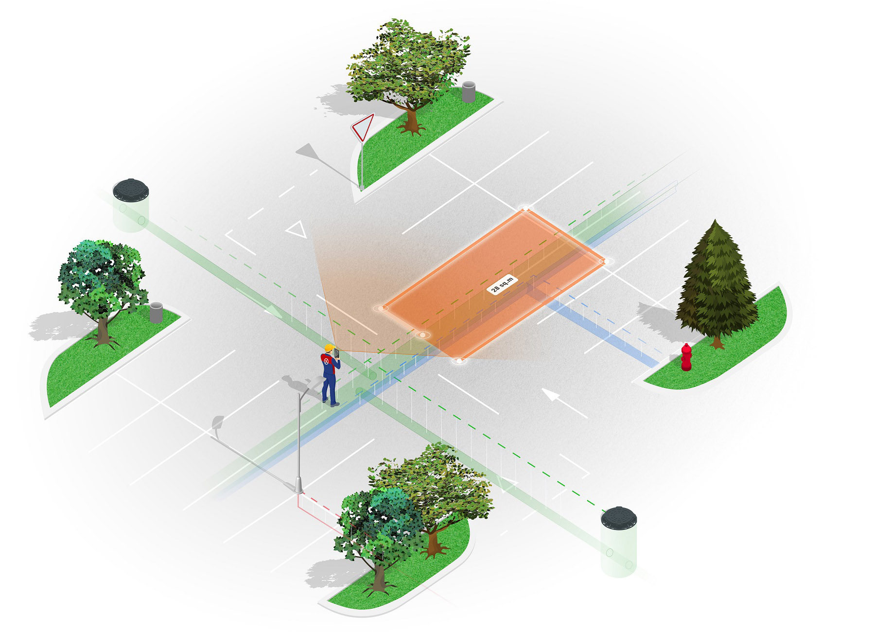
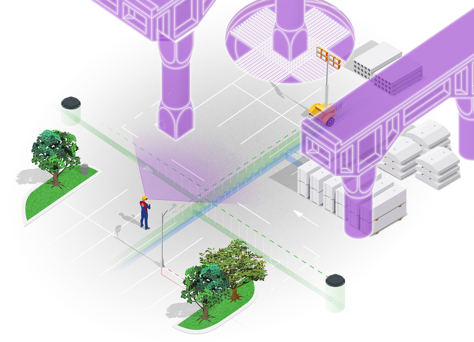
read moreGain the x-ray-like ability to “see through” the ground to simplify utility locates, detect problems, and improve maintenance. Review proposed SUE designs, compare them to existing infrastructure, and improve excavation planning and safety.
read moreDeploy unique workflow combining AR-based GIS data collection and 3D scanning to document linear structures (e.g., cables, lines and pipes) faster and easier, with higher accuracy and unprecedented details.
read moreCreate georeferenced 3D scans with just your phone or tablet to document work in progress and site conditions in 3D. Visualize 3D scans in vSite digital twin or with AR on-site with centimetre-level accuracy.
read moreUnlock the power of the Microsoft HoloLens 2 and Magic Leap 2 to visualize BIM, GIS, and 3D scan data as holograms to create a natural extension of the real world. Achieve cm-level outdoor positioning to project 3D holograms exactly where they should be.
read more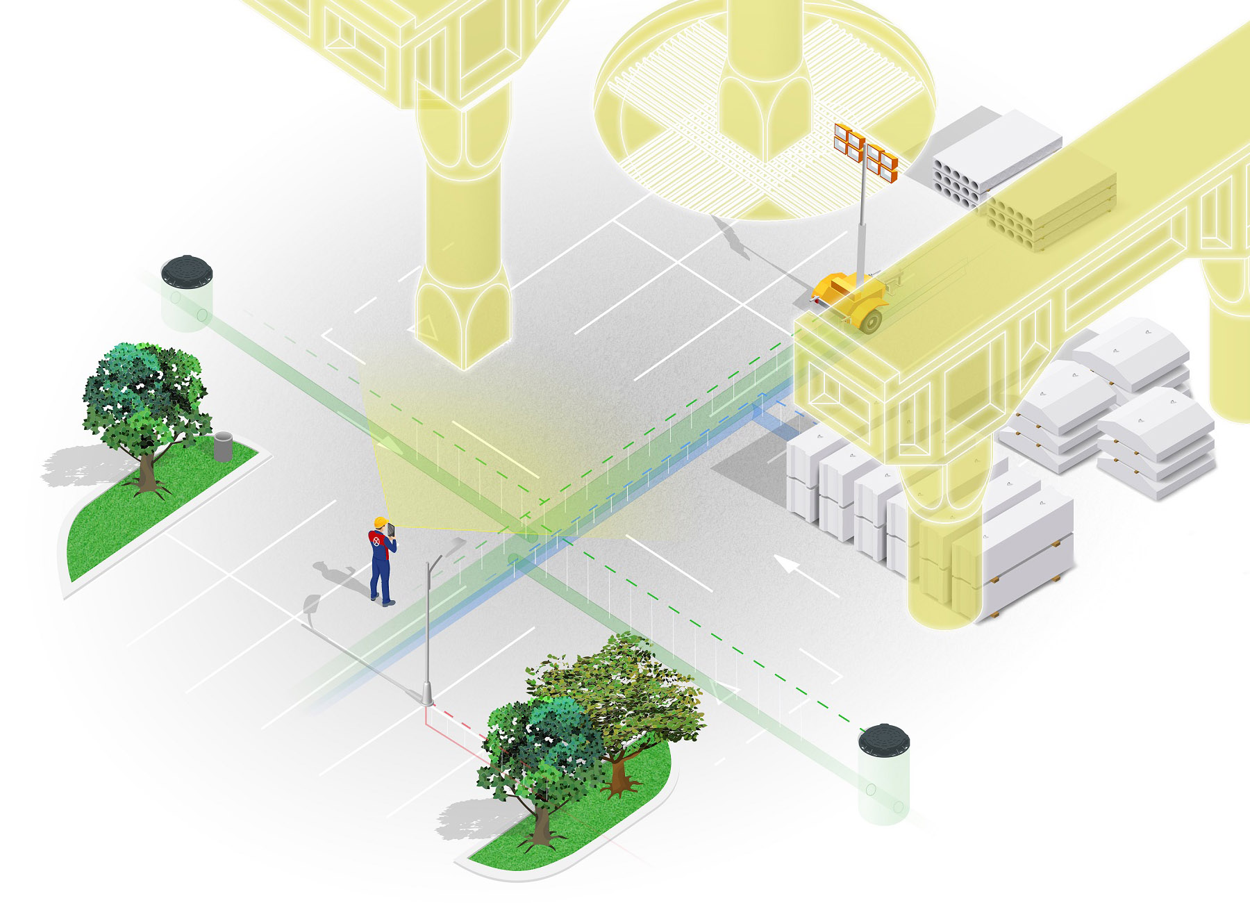
A high-level overview of the vGIS system. vGIS is designed for AEC companies, public utilities, municipalities, and service providers to aggregate and seamlessly convert 2D GIS, 3D BIM and Reality Capture data from Autodesk BIM360, Bentley iTwin, Esri ArcGIS, and other formats into powerful, accurate, and stable 3D visuals.
Working with our industry partners, vGIS is bringing reality-mesh models into AR. Reality Capture is performed using the vGIS app or a variety of methods offered by vGIS’s partners, and it often requires nothing more than a camera phone to complete.
vGIS has pioneered the high-accuracy mixed reality technology, allowing organizations like ours to literally 'see' underground utility locations, in the field, via Microsoft HoloLens. Truly innovative, truly transformative.


Click the button below to learn more about the vGIS Partner Program.
learn more


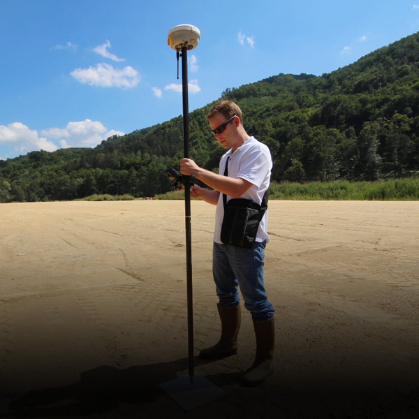
Survey-grade (up to 1cm) augmented reality with compatible GNSS and positioning devices
Learn more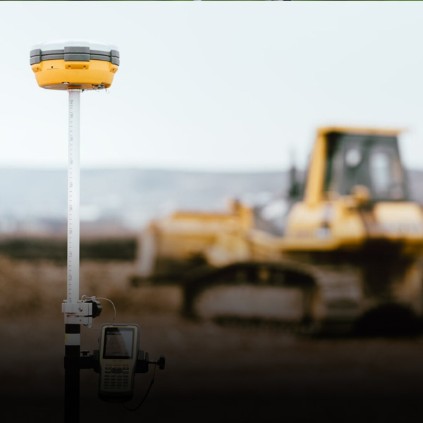

Several data security models to comply with the most stringent security requirements
Learn more
VGIS Clients
vGIS suits customers of any size — from small teams to multinationals and federal agencies. Meet our customers just like you and learn how they use vGIS AR.